
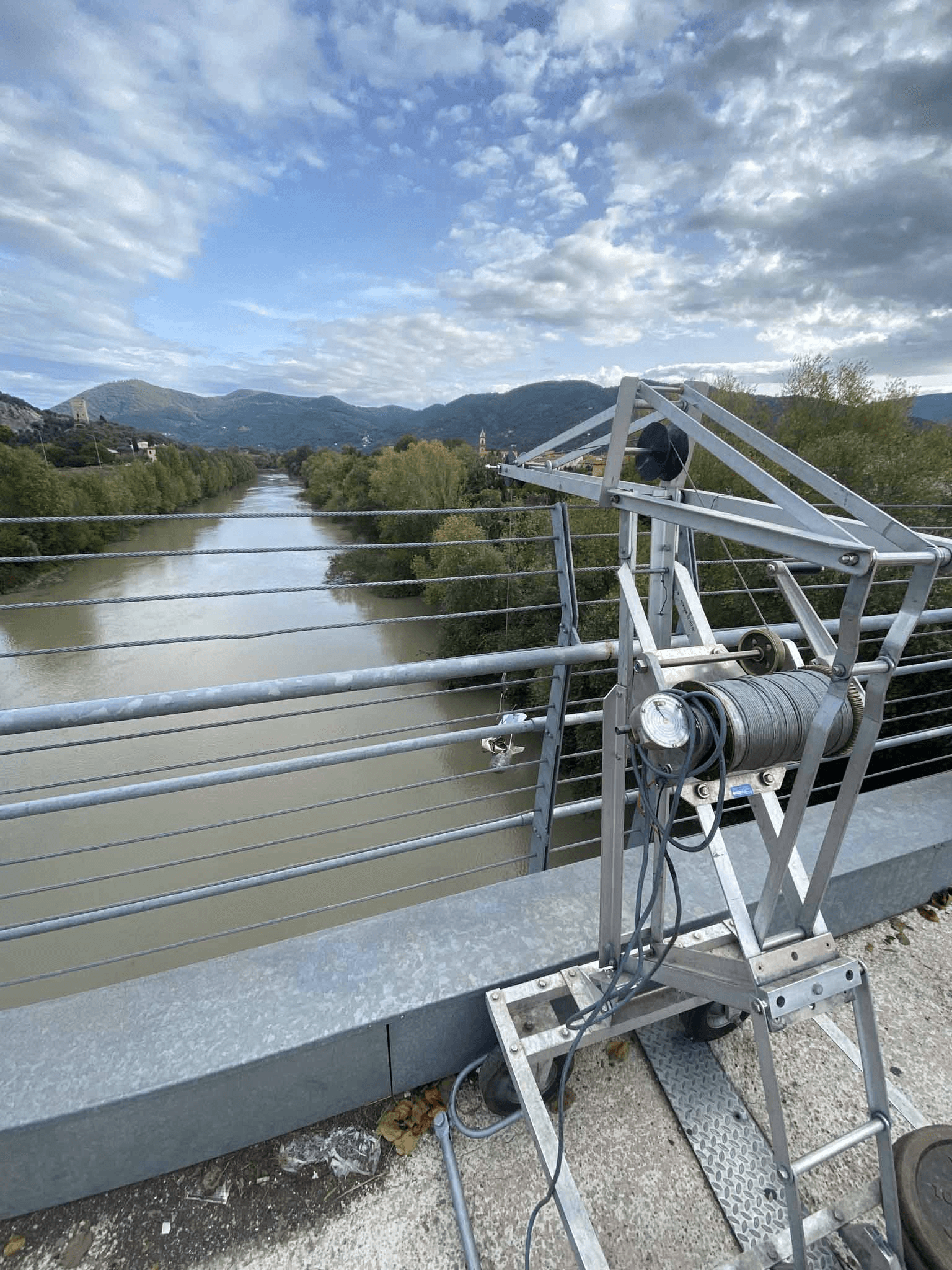
Hydraulic Models
AI - Based
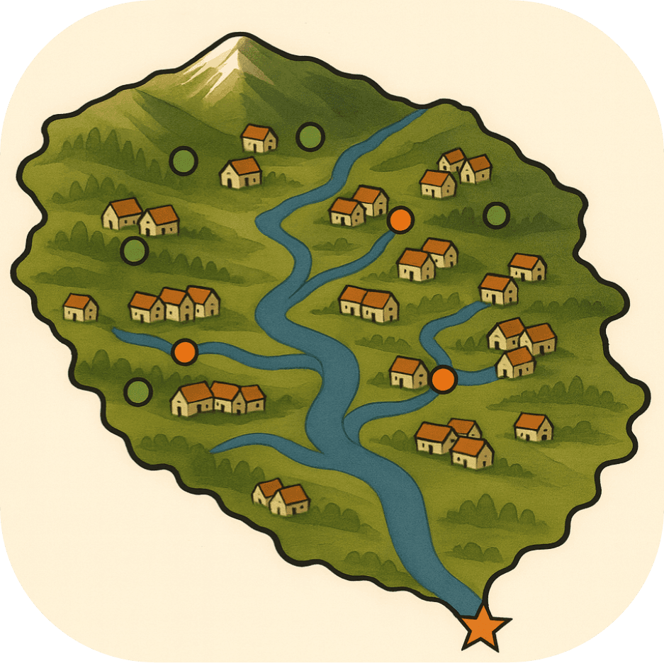
AI-Driven Flood Anticipation
We use Artificial Intelligence to predict how river systems behave, in extreme events and in everyday conditions.
Our AI-driven hydraulic models support both flood risk mitigation and efficient water resource management, helping decision-makers act before problems arise.
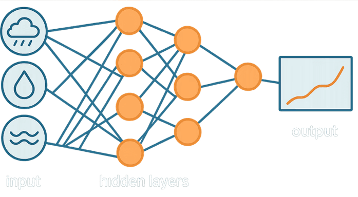
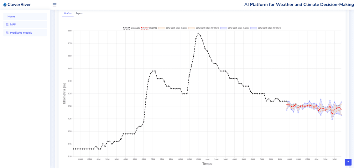
By combining deep learning techniques with high-frequency hydrological and meteorological data, we deliver short-term and near-real-time predictions that support early warning systems, operational planning and strategic water management.
Why choose AI-based hydraulic modelling?
AI-based hydraulic modelling enables:
• Early identification of flood events in fast-responding basins
• Optimisation of water use during normal and drought conditions
• Improved reservoir and abstraction management
• Reduced water losses through predictive control and planning
These models perform reliably even with incomplete or heterogeneous data, making them suitable for areas where traditional hydraulic or geological information is limited.
A data-driven approach to water security
AI models learn directly from observed data and adapt to changing conditions, offering:
Robust support for risk reduction and emergency management
Tools for sustainable water allocation
Increased resilience to climate variability and extreme events
From flood prevention to water savings and long-term resource planning, AI transforms raw data into actionable insights for smarter and more resilient territories.
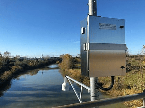
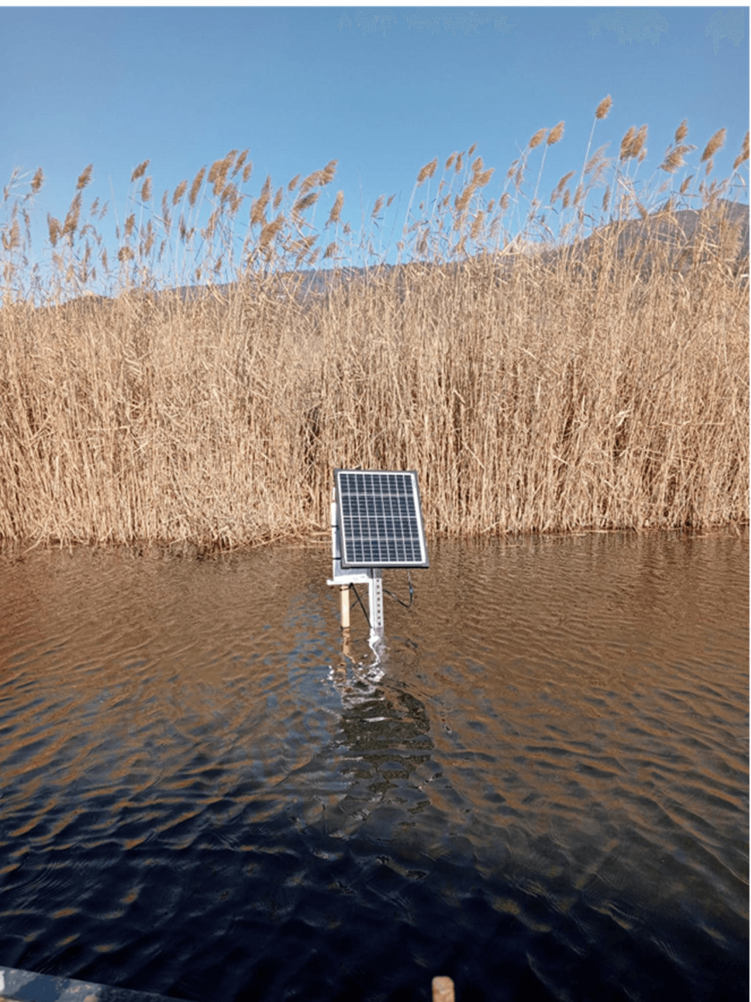
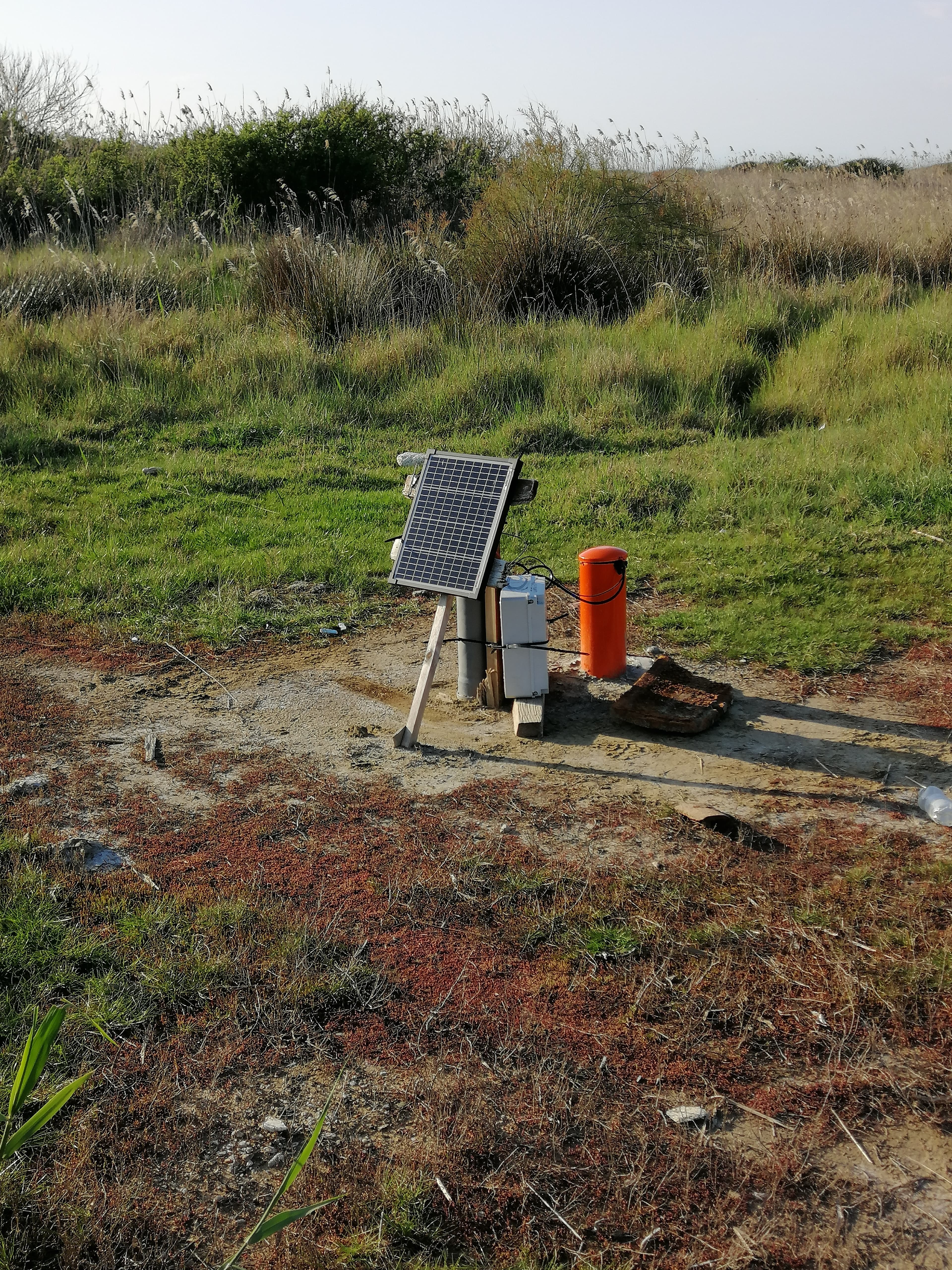
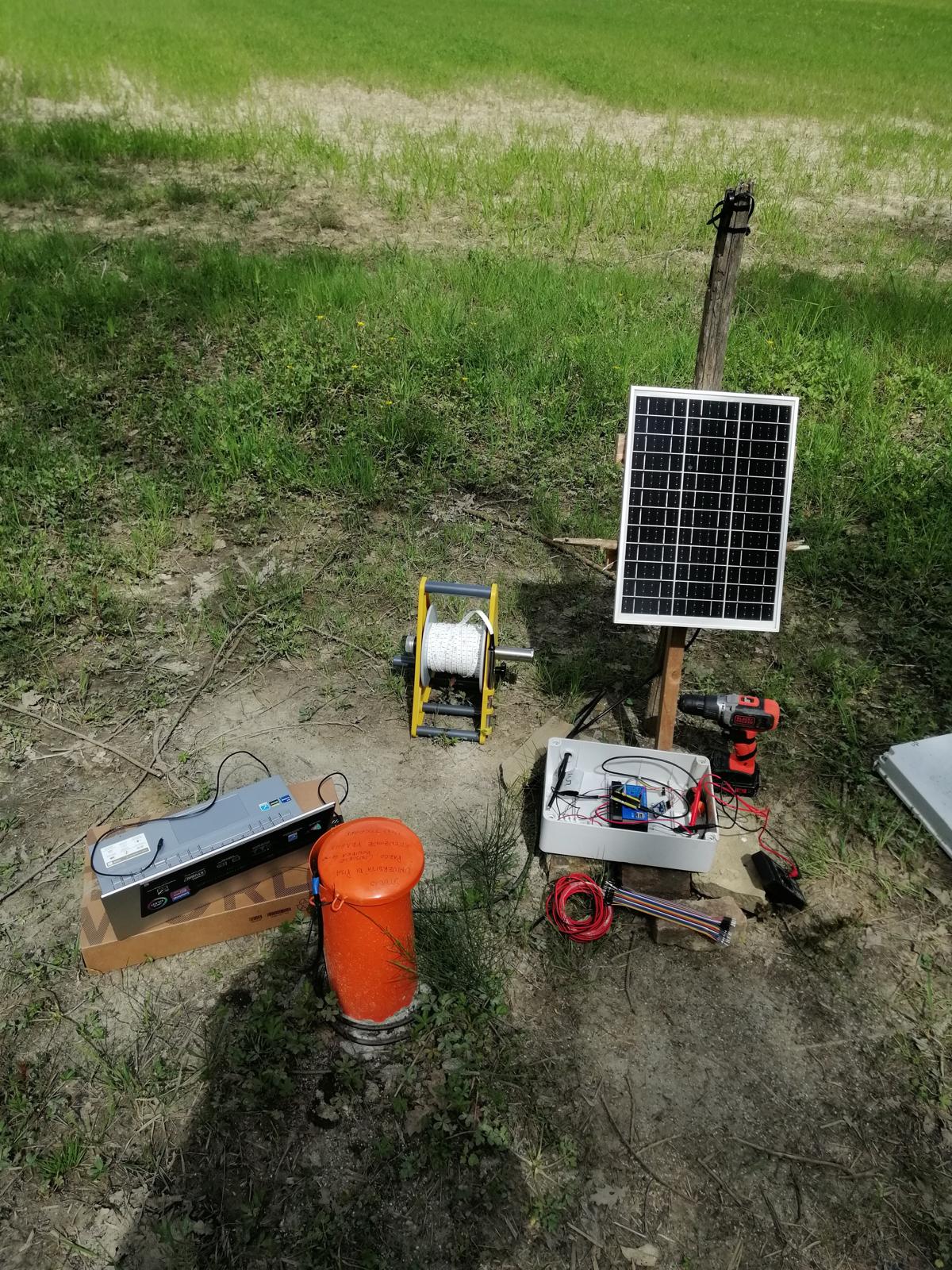
We carry out geochemical monitoring of water, soil and air matrices using real-time sensing technologies and automated acquisition systems.
This allows us to:
Detect changes in environmental conditions as they occur
Monitor water quality, soil processes and atmospheric parameters
Identify early signals of contamination or stress
Support rapid response and long-term environmental management
High-frequency data streams are transformed into clear indicators and dashboards, enabling informed decisions based on measured evidence, not assumptions.
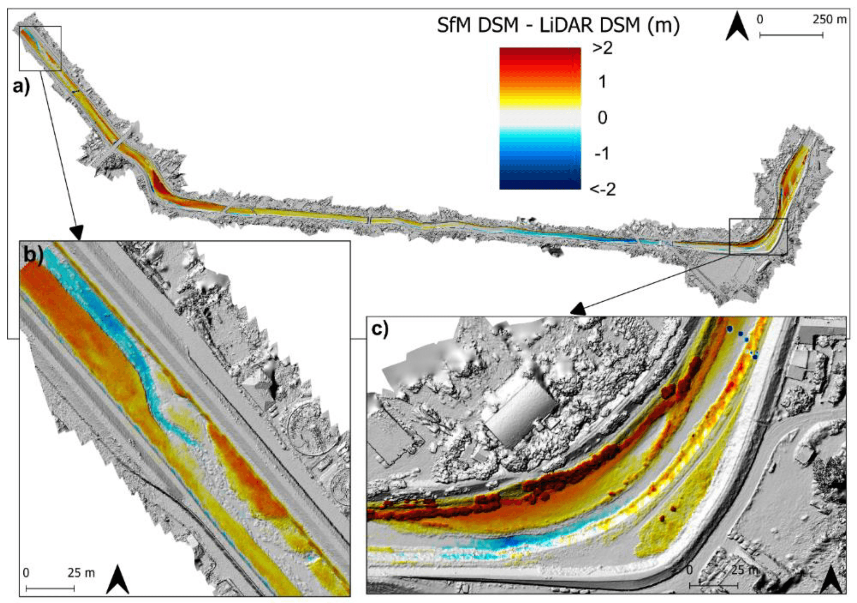
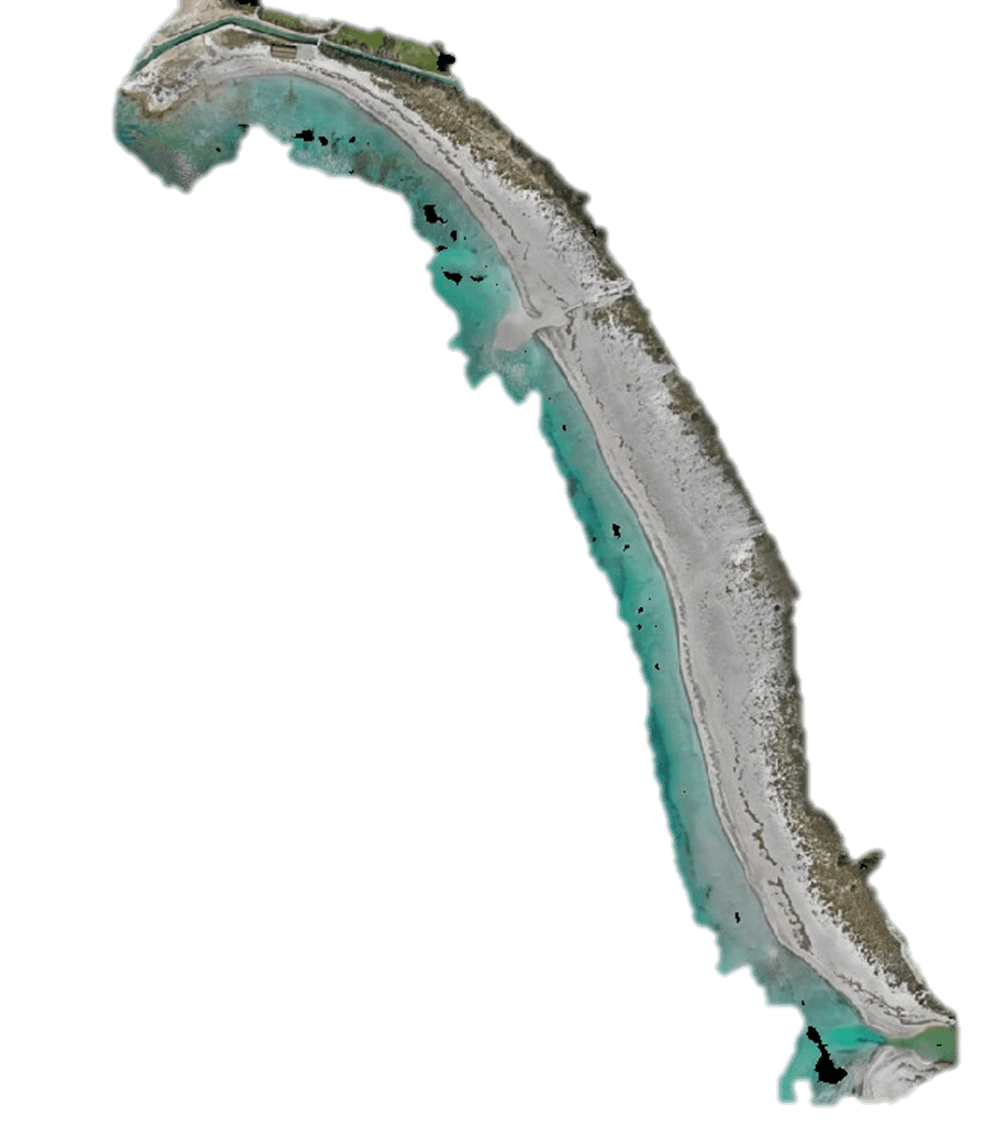
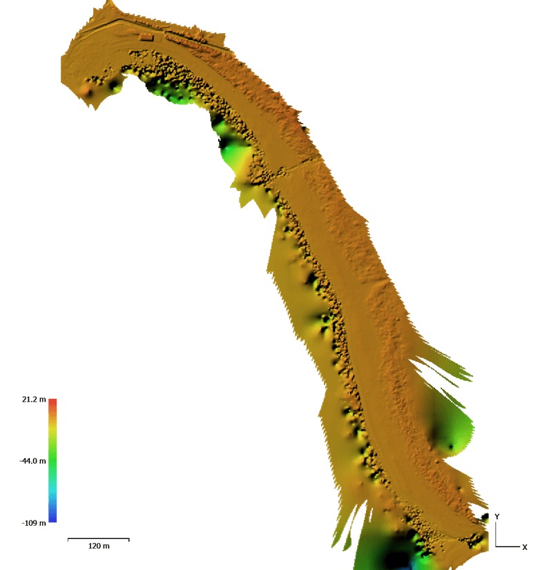
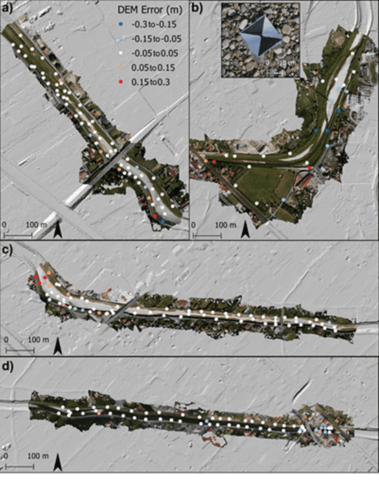
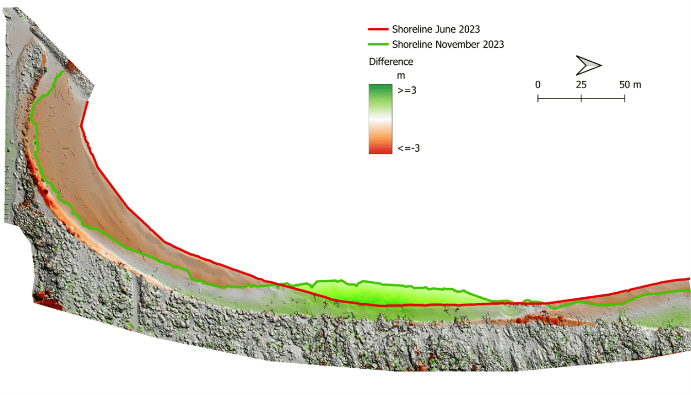
High-resolution topographic reconstructions
We produce high-resolution topographic models to accurately represent the geometry of natural and anthropogenic environments.
Using techniques such as UAV photogrammetry and advanced GIS processing, we generate detailed Digital Terrain Models (DTMs) and 3D reconstructions that allow us to:
Analyse surface processes and morphological changes
Monitor erosion, deposition and landform evolution
Support hydraulic, hydrological and environmental modelling
Provide a precise spatial framework for monitoring data
Repeated surveys enable change detection over time, turning topography into a powerful tool for environmental monitoring.
From measurements to insight
By combining real-time environmental data with high-resolution spatial models, we create an integrated monitoring framework that supports:
Environmental assessment and compliance
Risk prevention and mitigation
Sustainable land and water management
Evidence-based decision support for public authorities